Tag: Queen Anne’s War

  • Full Moon & Fireworks

    I once was a boat owner. Nowadays I’m a passenger on other people’s boats, and occasionally crew. I’d like to say I like it this way, not having the expense of maintaining a boat and such talk, but once it’s in your blood you never get over not having one, no matter how often you hop on someone else’s. That doesn’t make the experience any less delightful when you’re blessed with the opportunity. It’s more a call from the life that got away.

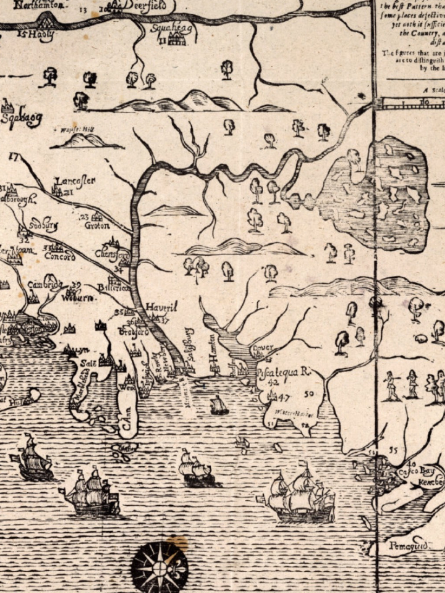
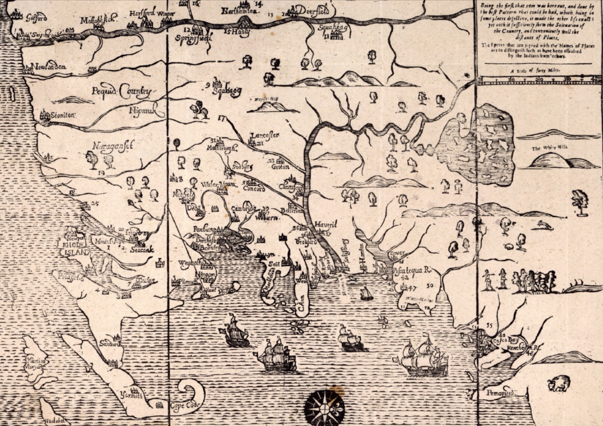
    Big Island Pond, located in Southern New Hampshire, is bordered by three towns. The namesake big island, called Governor’s Island, is mostly conservation land, making the lake feel like a time warp back to another era. There is a lot of history on this small lake, beginning with the famous Native American warrior Escumbuit, one of the leaders of the Abenaki. For the French, he was considered a hero, and knighted by Louis XIV of France in 1706. For the English settlers, he was a holy terror, responsible for several local raids during King William’s War and Queen Anne’s War. He lived on a small island now named after him; Escumbuit Island. Another famous character, Alan Shepard, the first American in space, also once lived on Escumbuit Island. Surely, there are whispers from history on quiet nights on this lake.

    Today, there’s little doubt who won the long game. The perimeter of the lake is lined with homes, and every one of those homeowners tries to be on the lake for the 4th of July fireworks. The threat of rain postponed the fireworks this night, making the lake quieter than it otherwise would have been. It turned out to be the wrong decision for the fireworks organizers, as the rains drifted away and the skies cleared enough to offer a full moon spectacle for those who ventured onto the lake anyway. That full moon rose over the dark shoreline, illuminating the calm lake with wonder.

    Cruising a populated American lake on the weekend of our national holiday is usually a recipe for boisterous fun and a bouncy ride. Boaters jockey for position to watch the fireworks, various patriotic-themed soundtracks and “homeowner special” fireworks blend together into a chaos of sound. Individual boats are also lit up in various colorful displays. I suspect most of the people on those boats are also lit up. Such is Independence Day in America. Americans don’t take nearly enough time off, but when we try to make up for lost time.

    With the fireworks postponed, it fell to some adventurous souls to make their own display. Three characters, one in nothing but a red, white and blue bathing suit, floated a swimming platform out into the middle of the lake stacked with professional-grade fireworks. They spent the next half an hour lighting off ridiculously large fireworks precariously close to their future well-being. As with boats, other people’s fireworks cost a lot less but offer the same benefit. We had a front row seat for our own fireworks display, making for a magical evening with friends. Sometimes things just seem to come together at just the right time. A timeless lake, full of history and magic, set the stage once again.

  • A Visit to Brimstone Hill Fortress, St. Kitts

    On a steep and imposing chunk of rock with the mountains at her back, Brimstone Hill Fortress continues to watch over the Caribbean long after the strategic reasons for having a fort here at all have faded into history. Today St. Kitts and Nevis, and the other island nations nearby, are destinations for fun in the tropics, but three centuries ago these islands were strategically valuable producers of tobacco, cotton and especially sugar and its byproducts, molasses and rum. The conflicts between England and France were played out in the North American colonies and in small islands like St. Kitts. While most soldiers considered being stationed in the tropics a death sentence due to the high mortality rate (from disease, alcoholism, etc), it was nothing compared to that suffered by the original inhabitants and the slaves that built the fortress. Each were decimated as the history of this place evolved. Visiting the castle after playing tourist for a few days, the contrast between the joyful destination of today and its dark history was sobering.

    They say that history is written by the victors. This is largely true, but with enough time and clues, you find enough evidence to piece together a more complete story. The English and French united to massacre thousands of Caribs (kalinagos) in 1626 at a place aptly called bloody point, not far from Brimstone Hill. Once they’d eliminated the native population, the English and French divided St. Kitts between them, with the English taking the middle of the island and the French the rest. This tenuous peace between colonists would last until 1713 (the end of Queen Anne’s War).

    Brimstone Hill Fortress was built by slaves between 1690 and the 1790’s. The slaves were brought from Africa in a continuous loop that began the slave trade of tobacco, cotton and sugar for captured and enslaved people. This highly lucrative trade created generations of wealth and tragedy. The fortress is an early example of the polygonal system, which created fields of fire to ensure that all sides were covered from assault. The sheer height of the fort ensured it would be very difficult to attack from the ground, while offering the prominence of the high ground to fire canon balls up to a mile away. This was state-of-the-art technology for the time. The volcanic stone was mined and cut into a formidable fortress, using lime quarried from lower in the mountain.

    During the American Revolutionary War, the French (allied with the American colonists) invaded St. Kitts and laid siege on the fortress from January and February of 1782. A siege is the kryptonite of a fortress, as the inhabitants face a dwindling supply of water, food and ammunition while the attackers wait them out. Eventually even the strongest fortresses capitulate, and the English surrendered and marched out with full honors. A year later the English were back again when the Treaty of Paris restored the islands to them.

    Today the Brimstone Hill Fortress is a Unesco historic site and remarkably well preserved. Many of the original canon line the fort, awaiting an assault that will never come. Today’s assault is from tourists seeking out the spectacular views from the fortress, stirred with a sobering history lesson. It’s absolutely worth the trip up the narrow, winding road on a clear day. A walk out to the outer walls confirms exactly why they built the fortress here—you can see forever in all directions. Including the past.

  • The Merrimack River Frontier

    Yesterday I dove deep into the Cape Cod section of John Seller’s Mapp of New England.  Today I’m looking at another fascinating section – the border between “civilization” and the “wilderness’.  I’ve written before about place names like World’s End Pond in Salem, New Hampshire.  Nothing hammers that home like seeing a map from 1675 showing the Merrimack River towns of Haverhill (“Haveril“), Billerica and Chelmsford (“Chensford“) Massachusetts as the frontier towns they were at the time.  North of the Merrimack River is wilderness in this map, South are the growing settlements of Massachusetts.  The river serves a critical role for settlers and Native Americans alike as both transportation and a border.  Settlements at this time were largely along the rivers and their tributaries, the Concord and Nashua Rivers.

    That bend in the Merrimack River northward was a critical point in the understanding of this land.  Isolated outposts like Billerica, Groton and Lancaster represented the outer reaches of people like us.  The map shows Lake Winnipesaukee and its many islands, so there was clearly knowledge in 1675 of what lay beyond, but it remained for all intents and purposes a vast, dangerous wilderness for another century until the fortunes of war, attrition in the Native American population and the shear mass of settlers from Europe turned the tide.

    It’s no surprise that the most notable Indian raids of the day were happening along the frontier.  York, Haverhill, Andover, Billerica, Chelmsford, and Groton all suffered Indian raids during the series of wars between the French and British.  Further west Brookfield and Deerfield had similar raids.  These frontier towns were dangerous places, and the settlers there would rarely venture out to tend their fields unarmed.  Towns like Haverhill were building fortifications and the brick 1697 Dustin Garrison for a measure of protection in the years spanning King Williams War and Queen Anne’s War.

    There were a series of conflicts between the English settlers and the Native American population that impacted northern New England.  In all cases the underlying conflict between the expansion of English settlements and the encroachment on the Native American population was a key factor.  French influence on the Native American tribes also contributed significantly in many of the raids in Merrimack River Valley from 1689 to 1713 as raiders were offered rewards for scalps and prisoners.  Living in this area for most of my life I see many reminders of that time in our history, and I always glance over at World’s End Pond and the Duston Garrison whenever I pass either.  Duston’s wife Hannah was famously kidnapped during King William’s War, her baby and many neighbors killed, marched through the town I live in by Abenaki warriors, and later escaped back down the Merrimack River on one of those raids.

    Wars Impacting Northern New England in the Early Colonial Period:

    • King Philip’s War 1675-1678 (Northeast Coast Campaign vs. Wabanaki Confederacy)
    • King William’s War 1689 – 1697 (French and Wabanaki Confederacy)
    • Queen Anne’s War 1702–1713 (French and Wabanaki Confederacy)
    • Dummer’s War 1722-1726 (Wabanaki Confederacy)
    • French and Indian War 1754 – 1763 (French and Mohican, Abenaki, Iroquois and other tribal alliances)

    So Seller’s Mapp of New England was a living, breathing document that was strategically important to the British and by extension the English settlers living in New England.  If matters were largely settled with the Native American population in the Southern New England areas by 1675, they were anything but settled in Northern New England.  Northern Massachusetts, including what is now coastal Maine and New Hampshire were the literally on edge, looking north and west for raiders.  That they would ultimately overpower the Native American population and New France settlements was not a foregone conclusion at the time.  Another reason it completely fascinates me.