The last twenty years has seen an explosion in micro brewing. There was a time when I talked about starting a brewery myself, and sometimes I wonder what might have been. Some of the breweries from the late 1990’s have come and gone, others sold out to the mass market brewers, and a few have stood their ground and grown organically.
As a lover of good beer, I’ve been known to make a side trip or two in search of a great brewery. A trip to Halifax brings with it an obligatory stop at Alexander Keiths. A trip to St John’s demands a visit to Quidi Vidi brewery. Breweries are popping up everywhere now and it makes drinking local easier than ever.
No trip stirs the beer lover’s imagination like a trip to Vermont. Some of the best beers in the world are brewed in Vermont. According to Beer Advocate’s rankings, The Alchemist, Lawson’s and Hill Farmstead consistently rank in the top tier of brewers. There’s something in the water up there in Vermont.
Yesterday I found myself with extra time in Burlington, Vermont. My last meeting cancelled on me and I recalled a beer fridge at home that needed a refresh. So I went to a local beer store I’ve been known to check in with on occasion and purchased some Sip of Sunshine and Focal Banger. Two worthy beers for sure. But I was out of Heady Topper and wasn’t sure when I’d be back in Vermont again, so I planned a side trip on my drive home that would take me to Stowe for a visit to The Alchemist. This is a route I know well and I was able to secure my designated share of Heady Topper, along with a four-pack of Holy Cow.
Beer purchases complete, I plugged my home address into Waze and backed out of my space for the trip back to I-89. And then it hit me. I’ve done this drive a dozen or more times. Every time I say to myself that I need to visit Hill Farmstead. I’ve had some of their beers before, but always felt the side trip to Greensboro was tough to justify. Today was feeling like one of those days too. I’d picked up my favorite Vermont beers already, why get more? Maybe just plug the address into Waze and see how much time it would add? Sure, what’s the harm of that? What’s this – it will only add a little more than an hour to the trip? That’s not so bad! Let’s do it!
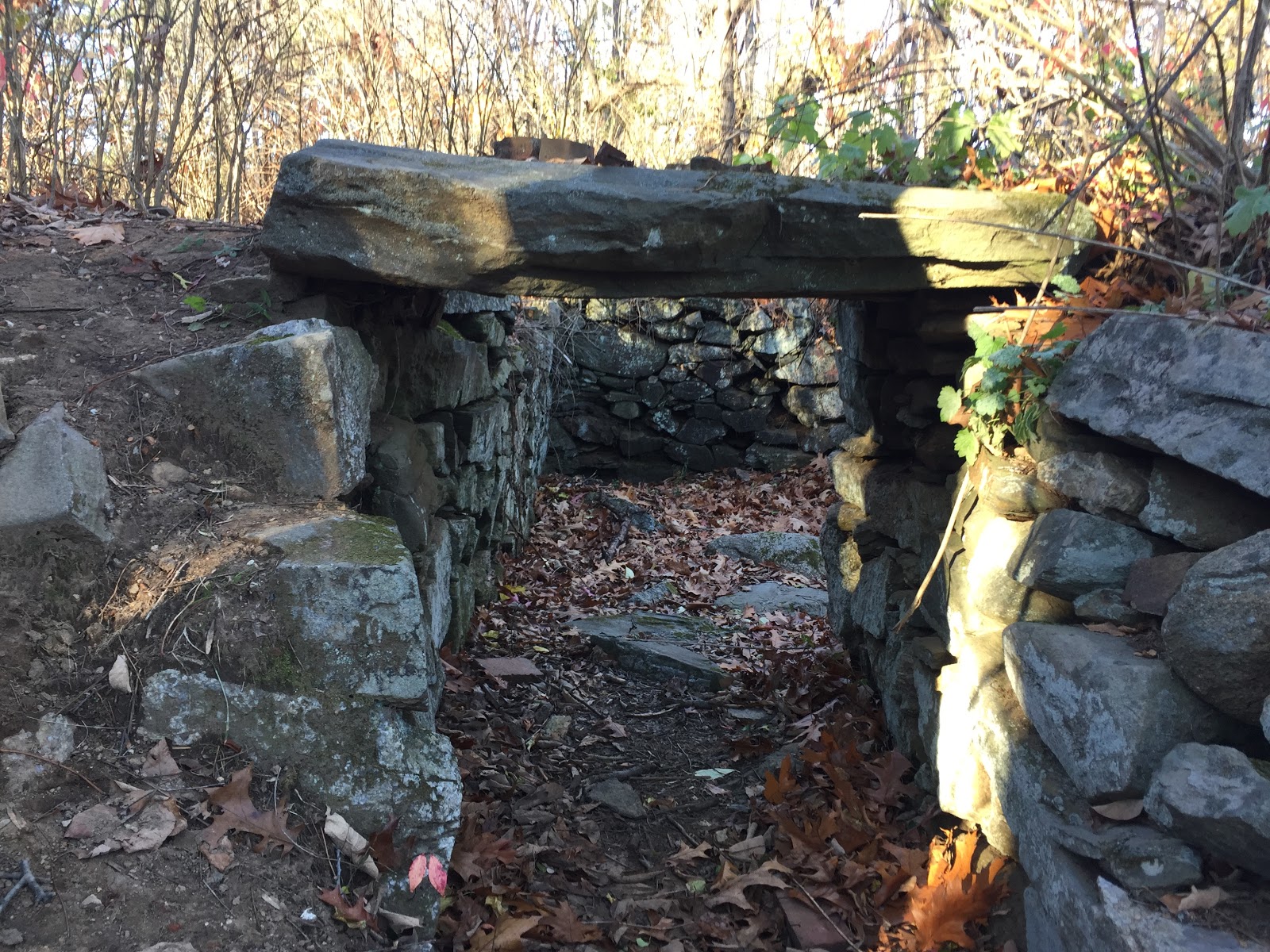
I thought of that as I drove down Vermont’s route 15, turned northward onto route 16 and watched my cellular signal fade from 3 to 2 to 1 to no bars. Waze kept me on track anyway, but boy this place is out there. But that’s where the adventure comes in. While driving down Hardwick Road, I came across a monument that marked the Bayley-Hazen Military Road, built during the Revolutionary War for troop movement towards Quebec. Sadly I didn’t take a picture of it, which means I clearly have to return to it another time.
If you ever want to see what some of the areas near Boston looked like before they were built up, visit this part of Vermont. There’s nothing but farms, woods and general stores that time forgot. As I drove closer to Hill Farmstead, it became clear to me that brewing beer was the best thing that’s happened in this area in a long time. Great beer brings beer tourism, as people make the pilgrimage to the brewery, buy beer and maybe stop at a few of the other businesses in the area while they’re here. It’s an economic boon for an area that otherwise relied on dairy, maple syrup and livestock.
As I got closer to Hill Farmstead, the roads got progressively narrower, and finally the pavement itself ended. Great reminder that April is the beginning of mud season. Did I mention that it was snowing lightly too? Did I mention I was wearing business attire and dress shoes? Did I mention that there was nobody else around? This was my view of Jaffin Flats Road as I drove closer to Hill Road.

I finally arrived at Hill Farmstead and glanced around. Bit of snow on the driveway but a few cars parked there put me at ease. Walking up to the building, I was crushed to see a sign saying they were closed. Damn, I hadn’t checked that on their web site. This was Tuesday and the sign said they’re only open Wednesday through Saturday. Damn. Long way to go for nothing. As I was cursing myself for not checking the schedule first a guy walked out of the building with a keg over his shoulder. I joked about not checking the schedule before I drove out here and he clued me in that there were people inside who might still sell me beer. It turns out Tuesdays are for locals only, and I was feeling a bit local myself, even if I wasn’t dressed that way. The bartender and locals were gracious with me, gave me a few pointers on the extensive beer menu and sold me a couple of growlers full of liquid gold.
Not all beers are created equal. I generally curse the artificial scarcity that some brewers inflict on their beer-loving public. But supply and demand dictates that some beers are harder to get than others. The Alchemist makes some outstanding beer, but they’re invested heavily in the hype with a shiny new tasting room and gift items for sale. Hill Farmstead is charmingly authentic, dictated in no small part by how far off the beaten path they are. Both are worth the pilgrimage. Maybe just not Sunday through Tuesday, and perhaps not during mud season.