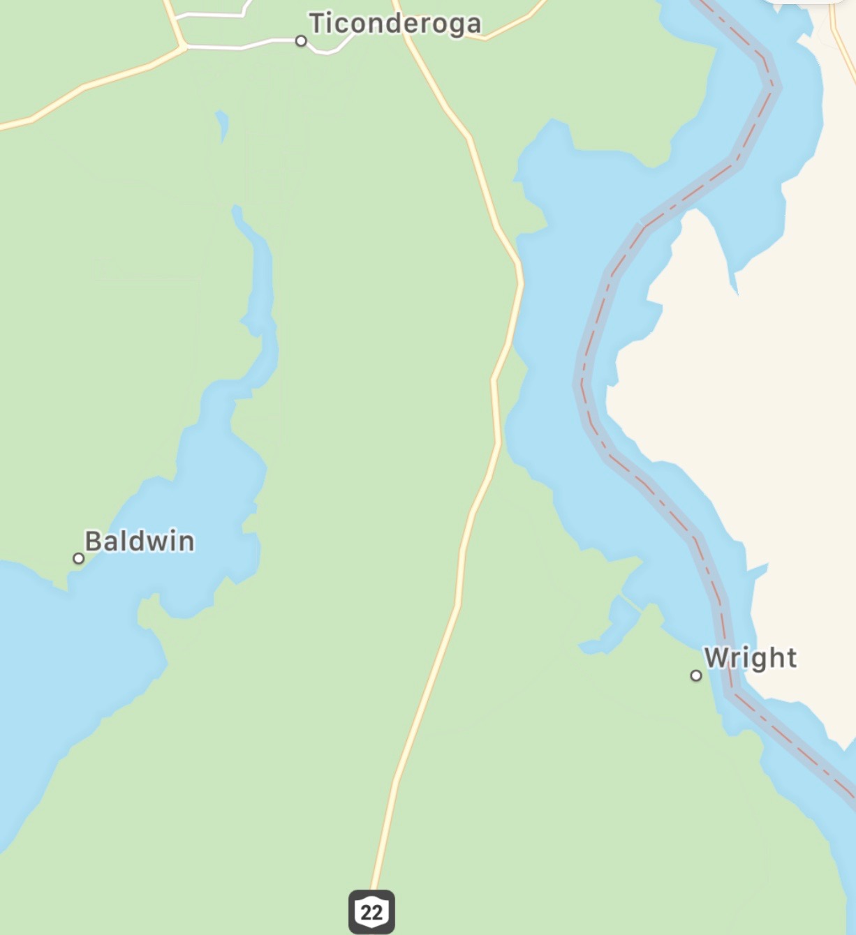
There’s an almost unbroken stretch of navigable water from New York City up the Hudson to Lake George to Lake Champlain to the St. Lawrence Seaway, which in turn leads back to the Atlantic Ocean or deep into the interior of North America to the Great Lakes. The “almost” part is a couple of stretches of land that must be portaged where the La Chute River is unnavigable. This two mile stretch of land between Lake George and Lake Champlain is the place the Native Americans called “the great carrying place”. There are other portages with the same name, notably a stretch of trail in Maine that Benedict Arnold used to invade Quebec, but this stretch in New York is arguably much more strategic.
In the years before and during the French and Indian War this was one of the most strategically important and thus heavily contested patch of wilderness in North America. Navigable water was the most efficient and fastest way to travel at the time, and aside from this stretch of land navigable water was close to unbroken. During the Revolutionary War this place was the site of significant naval and land battles led by Benedict Arnold.
I’ve been to Glens Falls and Saratoga many times. I’ve been to Lake George once or twice. And I’ve been on and most of the way around Lake Champlain. But I’ve never viewed the region with the educated eyes of a historian. It’s not that I didn’t know the rough history of the region, it’s that I was apathetic towards it. I’m not longer apathetic. The next time I make my way through the region I’m going to spend a little time immersing myself in the history of the region. Fort Ticonderoga, Mt. Defiance, Saratoga and so much epic history happened right in this area. I can’t very well ignore it now can I?

Leave a comment