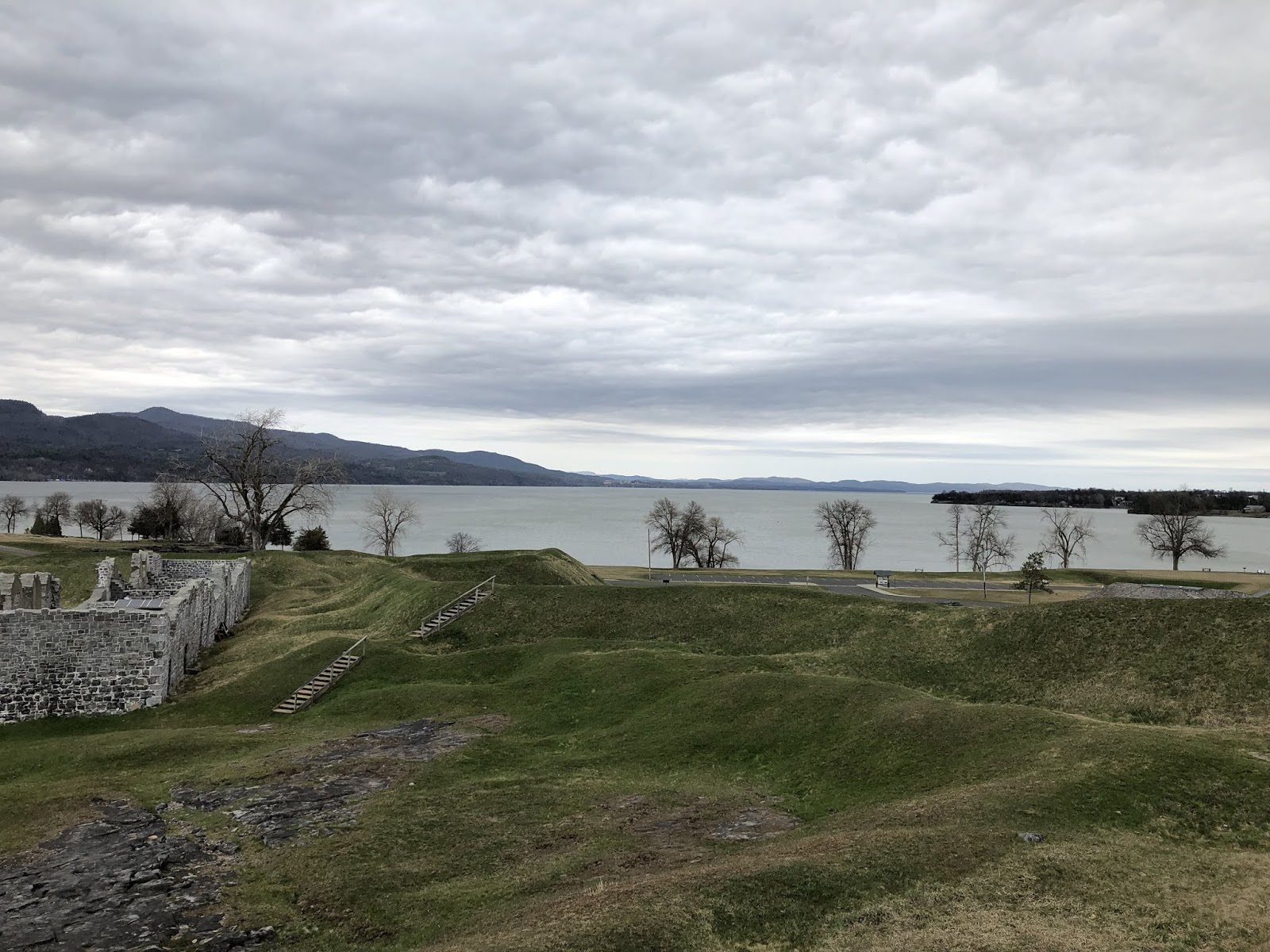
The strategic importance of Lake Champlain during the early colonial years when the French and British and later the Americans and British were wrestling for control of this region is well documented. Controlling the flow of supplies and men along the lake was critical, and the French chose a point of land where the lake narrowed significantly on the southern end to build Fort Saint-Frédéric in 1734. This gave them both a foothold of consequence at a choke point on the lake and a launching place for attacks into British territory. They held this ground until 1759, when Jeffrey Amhert’s 10,000 man army marched northward from Albany to take it. The French destroyed Fort Saint-Frédéric as they retreated, but the strategic importance of the location wasn’t lost on the British.
When Amherst’s army reached the destroyed French fort, they immediately set to building a much larger fort next to the location of the original. In fact, if you look at satellite image of the location you can see the faint outline of the French fort right next to the larger British fort that replaced it.

Walking around on this site you feel just how exposed you are to the elements. For the soldiers stationed here, it must have been brutally cold in the winter. The large fireplaces for the upper and lower floors in the officer’s quarters must have been heavily utilized during those winter months. Officer’s quarters were much nicer and the fireplaces much bigger than those of the enlisted men.


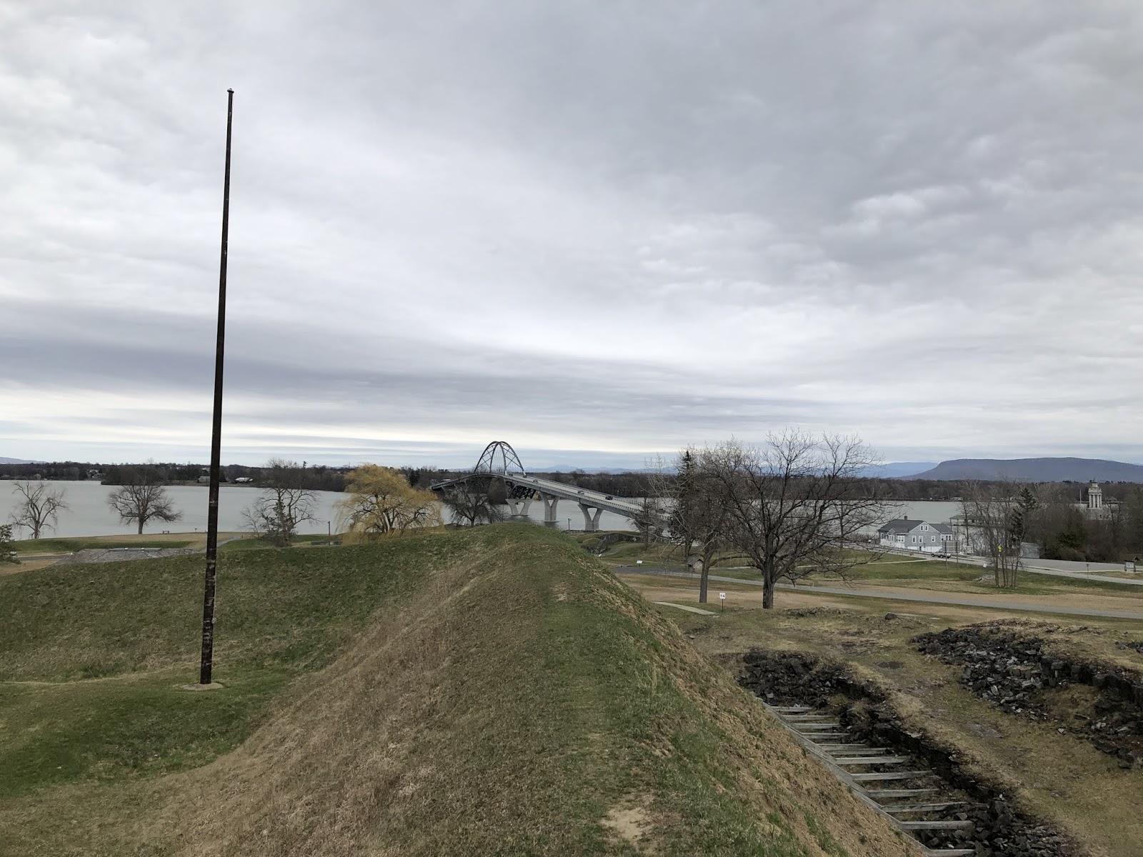
Ultimately Crown Point fell into disrepair as the threat from the French disappeared and threats from the Native American population moved further and further west. The strategic importance of Crown Point was also diminished by the decision to strengthen Fort Ticonderoga closer to where Lake Champlain and Lake George overlap. The other concern about Crown Point was that it was set on a peninsula, and thus soldiers manning the fort would become trapped there should the land it connected to be controlled by the British and their Native American allies. That proved a salient point as the Continental Army was barely controlling the lake at this time let alone the western lands adjacent to Crown Point.
Walking along the top of the earthworks the British built, it’s easy to see just how clear the sight lines were for the cannon overlooking the lake. Ironically the fort was never directly assaulted and never fired a shot at a passing ship as far as I can tell. The Green Mountain Boys overwhelmed a skeleton crew manning the fort in 1775, shipped many of the cannon to Boston (along with many from Ticonderoga), and then the Continental Army opted to abandon Crown Point in favor of what they believed to be stronger ground at Ticonderoga and Fort Independence in 1777. The British took back control of Crown Point and held it until the end of the Revolutionary War in 1783. This was the last hurrah for Crown Point, and it fell further into disrepair until it was declared a National Historic Site.
I’ve walked the grounds of Crown Point once in the spring, and hope to get back there sometime when they’re open for tours. Perhaps I can combine a visit with one I’m planning later this year for Fort Ticonderoga and Fort Independence. I’d also like to hike up Mount Defiance to round out my knowledge of the campaign and to complete my tour of this region.

Leave a comment