Tag: Lake Champlain

  • “Ferry” Tales

    Waze. A blessing and a curse. Better than GPS no doubt. But sometimes it gets it really, really wrong. Yesterday was one of those wrong times.

    After bouncing between meetings from Danbury to Albany I set Waze for my next destination; Burlington, Vermont. I’ve done this drive in reverse a few times, so no big deal, right? But Waze conditions you to drive in autopilot, and I was well into my drive when I double-checked the route it was sending me. Bad news: It had me taking the ferry. Worse news: That ferry stopped running for the night an hour before. I could either try to make the last Port Kent ferry or go all the way around the lake. Damn.

    Cursing myself did no good. Cursing Waze did less. Instead I did a re-set of both Waze and my own brain. It was raining hydroplane hard if I were to push the speed. Instead I checked the time, realized I’d get there with plenty of time to spare and drove to the tiny ferry terminal in Keeseville, New York. When I arrived the booth attendant ignored me for whatever was on television, not jumping to attention until I pulled behind the only other car in line. Grabbing my tiny umbrella I walked back to the booth and paid my $30 for the ride across. It was worth three times that for me as the buckets of rain made short work of the umbrella and soaked my dress shirt sleeves and my favorite off-roading leather sole shoes.

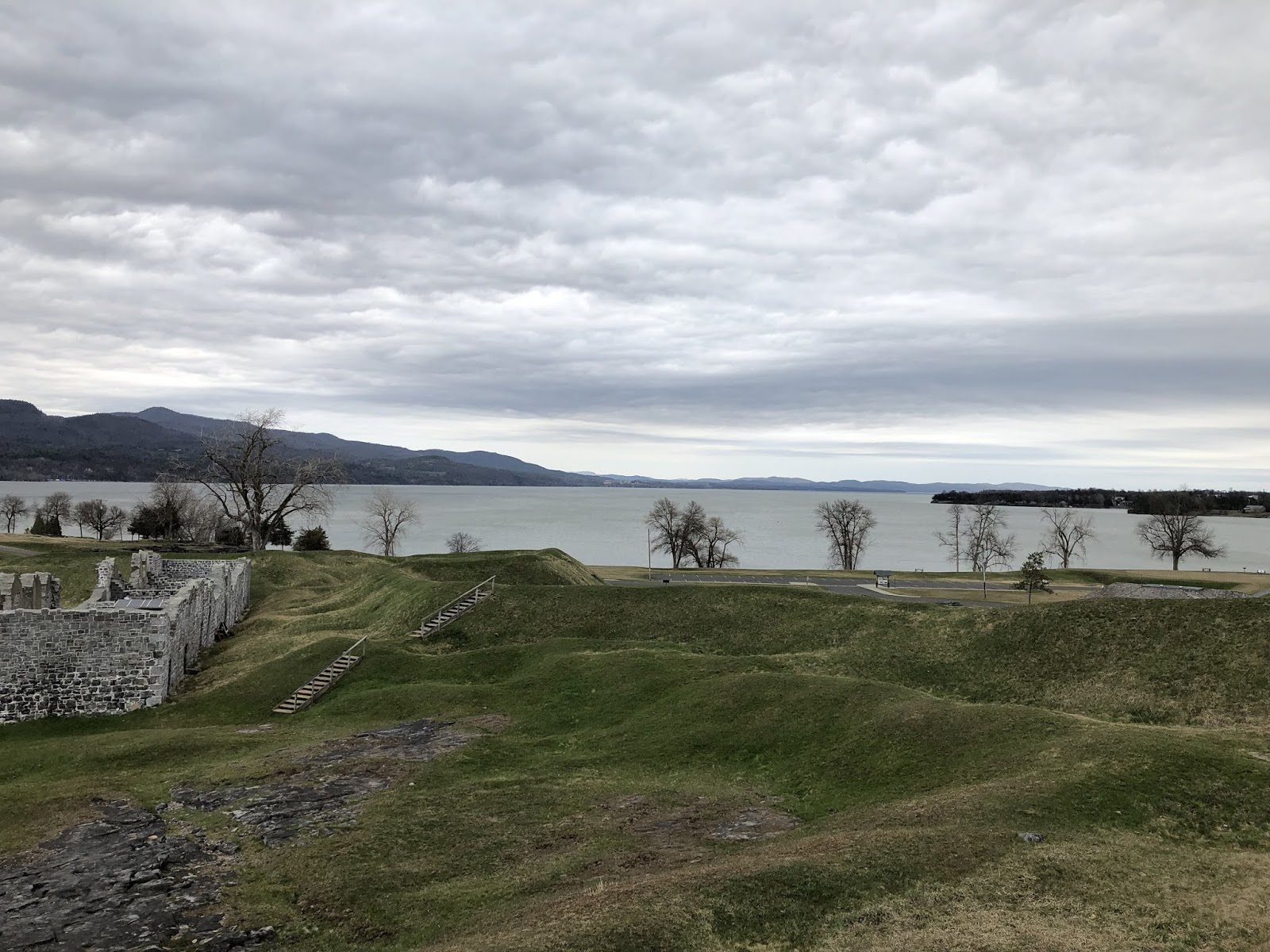
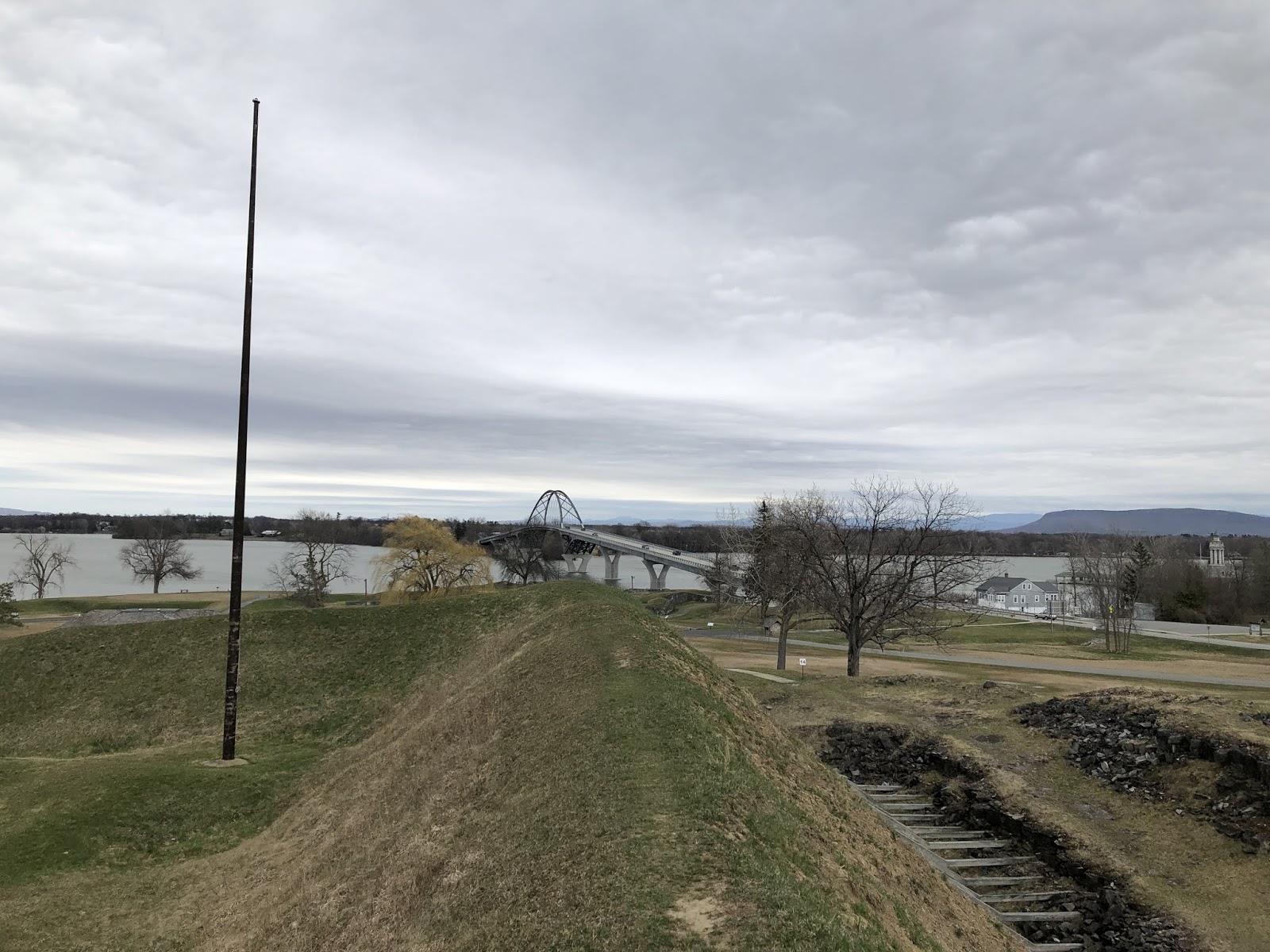
    30 minutes later we were boarding the ferry for the ride across Lake Champlain. I knew the view we were missing in the rain and fog, and described it to a retired couple from Wisconsin taking the long, scenic (usually) route to Cape Cod. I described the strategic importance of Lake Champlain and the story of when Benedict Arnold was a hero before it all went wrong for him. The blank, polite stares told me to swing the conversation back to their trip. They were traveling the old school way, with a road atlas and no smart phone or GPS. I recalled days when I’d have plotted my own trip, noted bridges and little things like ferry schedules. I told them they might just be on to something.

    The crew joined in on the conversation. This was the last run of the night and all the chores were done. As we cruised into Burlington I looked over the shoulder of the couple from Wisconsin and pointed out the sun setting as the clouds lifted just in time. We were just slipping into port with the lighthouse to Starboard. The trip was full of twists and turns, but it all aligned for this moment. Three passengers and as many crew, sharing it before we all hustled to our respective positions. Things have a way of working out if you just trust… but verify.

  • Narraganset Bay to Lake Champlain

    I drove the 310 miles between Newport, Rhode Island and Burlington, Vermont in two legs, with a brief nap at home in between. Heavy rain and a relentless, brilliant lightning display will be what I’ll remember about the first leg, and the mist covered Green Mountains of Vermont surely will be the thing I remember about the second. It occurred to me that this journey 250 years ago would have been very different indeed. Instead of driving up I-93 to I-89, my options would have been to sail south to the Hudson River for an arduous journey upriver, a risky portage to Lake George, and another between Lake George and Lake Champlain or alternatively taking the northern route up to the St Lawrence River over to Lake Champlain. Either proposition was shorter and safer than the overland I did would have been.

    Sometimes we take for granted just how far we’ve come in such a short amount of time. I’ve come to appreciate our collective technological advancement more through reading history and traveling from place to place. Communication has advanced along with the roads, and now I have the ability to talk to anyone in the world in seconds. How awed King George would have been, and what a difference good roads or communications would have made in the wars fought along the shores of Newport and Lake Champlain. That route from there to here seems a lot further given the hindsight of history.

  • Crown Point

    The strategic importance of Lake Champlain during the early colonial years when the French and British and later the Americans and British were wrestling for control of this region is well documented.  Controlling the flow of supplies and men along the lake was critical, and the French chose a point of land where the lake narrowed significantly on the southern end to build Fort Saint-Frédéric in 1734.  This gave them both a foothold of consequence at a choke point on the lake and a launching place for attacks into British territory.  They held this ground until 1759, when Jeffrey Amhert’s 10,000 man army marched northward from Albany to take it.  The French destroyed Fort Saint-Frédéric as they retreated, but the strategic importance of the location wasn’t lost on the British.

    When Amherst’s army reached the destroyed French fort, they immediately set to building a much larger fort next to the location of the original.  In fact, if you look at satellite  image of the location you can see the faint outline of the French fort right next to the larger British fort that replaced it.

    Walking around on this site you feel just how exposed you are to the elements.  For the soldiers stationed here, it must have been brutally cold in the winter.  The large fireplaces for the upper and lower floors in the officer’s quarters must have been heavily utilized during those winter months.  Officer’s quarters were much nicer and the fireplaces much bigger than those of the enlisted men.


    Ultimately Crown Point fell into disrepair as the threat from the French disappeared and threats from the Native American population moved further and further west.  The strategic importance of Crown Point was also diminished by the decision to strengthen Fort Ticonderoga closer to where Lake Champlain and Lake George overlap.  The other concern about Crown Point was that it was set on a peninsula, and thus soldiers manning the fort would become trapped there should the land it connected to be controlled by the British and their Native American allies.  That proved a salient point as the Continental Army was barely controlling the lake at this time let alone the western lands adjacent to Crown Point.

    Walking along the top of the earthworks the British built, it’s easy to see just how clear the sight lines were for the cannon overlooking the lake.  Ironically the fort was never directly assaulted and never fired a shot at a passing ship as far as I can tell.  The Green Mountain Boys overwhelmed a skeleton crew manning the fort in 1775, shipped many of the cannon to Boston (along with many from Ticonderoga), and then the Continental Army opted to abandon Crown Point in favor of what they believed to be stronger ground at Ticonderoga and Fort Independence in 1777.  The British took back control of Crown Point and held it until the end of the Revolutionary War in 1783.  This was the last hurrah for Crown Point, and it fell further into disrepair until it was declared a National Historic Site.

    I’ve walked the grounds of Crown Point once in the spring, and hope to get back there sometime when they’re open for tours.  Perhaps I can combine a visit with one I’m planning later this year for Fort Ticonderoga and Fort Independence.  I’d also like to hike up Mount Defiance to round out my knowledge of the campaign and to complete my tour of this region.


  • Two Epic Marches in 1775

    During the early days of the Revolutionary War, there were two epic marches of heroic proportion.  Henry Knox’s Noble train of artillery in November and December 1775 was one.  Benedict Arnold’s march through the wilderness of Maine for the invasion of Quebec in September to November 1775 was the other, and the one that seems to have been lost to history because of Arnold’s turncoat future in the war and the immediate result from each effort.

    Benedict Arnold was the person credited with the idea of hauling the artillery from Fort Ticonderoga to Boston, which was occupied by British troops but under siege from the colonists.  The Generals recognized that a long, drawn-out siege was going to help the British more than the colonists, as reinforcements from England would be arriving at some point in the spring to try to eradicate the uprising.  Ships in Boston harbor weren’t going to leave just because militiamen were surrounding Boston.  Artillery was needed to encourage them to move on.

    Since Arnold was a little busy marching through the wilderness of Maine, it fell on Henry Knox to bring the cannon from Ticonderoga to Boston.  As with any travel in those days, using existing waterways was much easier than horse paths through the woods.  So bringing almost 120,000 pounds of cannon down the Hudson River to Albany made a lot of sense, but from there they needed to haul the cannon on sleds across ice and rough terrain all the way to the Dorchester Heights.  The hardest part of this overland trip must surely have been bringing them over the Berkshires roughly where Blandford, Massachusetts is today (where the Massachusetts Turnpike cuts through the Berkshires).

    Arnold by contrast sailed to the Kennebec River and up to Augusta, Maine, where he began his march through the wilderness to Quebec.  He started with 1100 men, and reached the St. Lawrence with about 600 starving men.  Some starved to death on the trip, and the rest abandoned the march and retreated towards home.  Arnold’s expedition was even more bold than Knox’s.  Yet the immediate results were very different.  Knox’s artillery chased the British out of Boston on what is forever celebrated as Evacuation Day in the city.  Arnold’s army reached Quebec and were met there by Montgomery’s troops who had come from Lake Champlain.  Ultimately they didn’t have the numbers or the artillery to lay a proper siege on Quebec, and they were eventually chased away as the ice broke on the St Lawrence and British reinforcements arrived to chase them down.

    Two men remembered differently in history.  Benedict Arnold’s name is forever associated with treason, but in the early years of the war he was a hero many times over.  Henry Knox would continue to grow his career in the Continental Army, becoming the Secretary of War for the United States.  His name lives on at Fort Knox.  Benedict Arnold doesn’t have any forts named after him, but the United States may not have won the war without him.

  • Benedict Arnold

    Growing up in the United States of America, you heard a version of history that made our Founding Fathers and the generals who fought the American Revolution out to be heroes.  And in many ways they were.  The winners write the history, no doubt, but they did create a democracy that was the envy of the world while fighting off the greatest military power of the day.

    I’ve read that if Benedict Arnold had been killed at Saratoga instead of badly wounded he would be remembered as one of our greatest heroes.  There’s no doubt that he was a complicated man; aggressively ambitious to a point where he drove those he commanded, was loathed by many of his peers, but loved as a true leader by anyone who saw him in action.  
    Had Benedict Arnold not turned against the colonies, he would have been celebrated as one of our greatest military leaders for his raid on Quebec, the raid on Ticonderoga, the Battle of Valcour Island on Lake Champlain against overwhelming odds, the Battles of Ridgefield, Connecticut and Saratoga. In all of these, Arnold exhibited courage, persistence, strategic vision and competitive spirit critical in war.  He sacrificed an enormous amount of his personal wealth and political power for the Revolution, and was a key reason the British were ultimately defeated.  And yet he’s best known for his betrayal.
    You can’t take omit that betrayal when considering the man.  There’s no doubt that he deserved the condemnation and infamy he received and receives to this day for not just betraying the colonies, but also betraying George Washington and the troops he served with.  But it’s… complicated.  If Arnold weren’t such a hero in 1775-1778, his betrayal in 1780.  He remains the most famous traitor in history, and the most forgotten hero.
    I’ll try to visit a few of the places that Benedict Arnold made history in.  Not because I admire the man, but because without him I’m not sure that the Continental Army would have won in the end.  And what would our history have been then?  Unlike Washington, there aren’t a lot of “Benedict Arnold slept here” placards on the sides of colonial era homes.  But there are monuments to what he accomplished, and I’d like to explore a few of those in 2019.
  • What’s Up is Down

    What’s Up is Down

    While it makes sense that to go up a river or a lake that is fed by a stream or river, intuitively when you live in the Northeast you think of going up the river as going north or west.  That’s because the majority of rivers that flow to the sea do so in a southbound or eastbound way.  To go “up the river” to SingSing was to go up the Hudson River from New York City to Ossining, New York.  But there are several examples in the region where the opposite happens.  

    Watershed maps indicate several rivers that flow north to the St Lawrence River.  These include the Chaudière River (Rivière Chaudière) and the Richelieu River, which is fed from Lake Champlain and Lake George through a series of smaller rivers.  Because these two lakes flow north to the St Lawrence, going “up the lake” means going south, and going “down the lake” north.  This upside down world of navigation makes perfect sense when you think about water flowing down, but is topsy-turvy when you think about north-south.
    It’s a good reminder that your way of thinking, based on your experiences, isn’t necessarily correct.  Next time I think I’ve got something all figured out I’ll reflect on nature’s reminder that what’s up can indeed be down.  That’s a good reminder for all of us.
  • The Great Carrying Place

    There’s an almost unbroken stretch of navigable water from New York City up the Hudson to Lake George to Lake Champlain to the St. Lawrence Seaway, which in turn leads back to the Atlantic Ocean or deep into the interior of North America to the Great Lakes.  The “almost” part is a couple of stretches of land that must be portaged where the La Chute River is unnavigable.  This two mile stretch of land between Lake George and Lake Champlain is the place the Native Americans called “the great carrying place”.  There are other portages with the same name, notably a stretch of trail in Maine that Benedict Arnold used to invade Quebec, but this stretch in New York is arguably much more strategic.

    In the years before and during the French and Indian War this was one of the most strategically important and thus heavily contested patch of wilderness in North America.  Navigable water was the most efficient and fastest way to travel at the time, and aside from this stretch of land navigable water was close to unbroken.  During the Revolutionary War this place was the site of significant naval and land battles led by Benedict Arnold.

    I’ve been to Glens Falls and Saratoga many times.  I’ve been to Lake George once or twice.  And I’ve been on and most of the way around Lake Champlain.  But I’ve never viewed the region with the educated eyes of a historian.  It’s not that I didn’t know the rough history of the region, it’s that I was apathetic towards it.  I’m not longer apathetic.  The next time I make my way through the region I’m going to spend a little time immersing myself in the history of the region.  Fort Ticonderoga, Mt. Defiance, Saratoga and so much epic history happened right in this area.  I can’t very well ignore it now can I?